Provenance
CIA briefing notes, 23 March 1966; declassified via the CIA FOIA Reading Room (CIA-RDP78T05929A001500040001-0). A work of the US government - public domain.
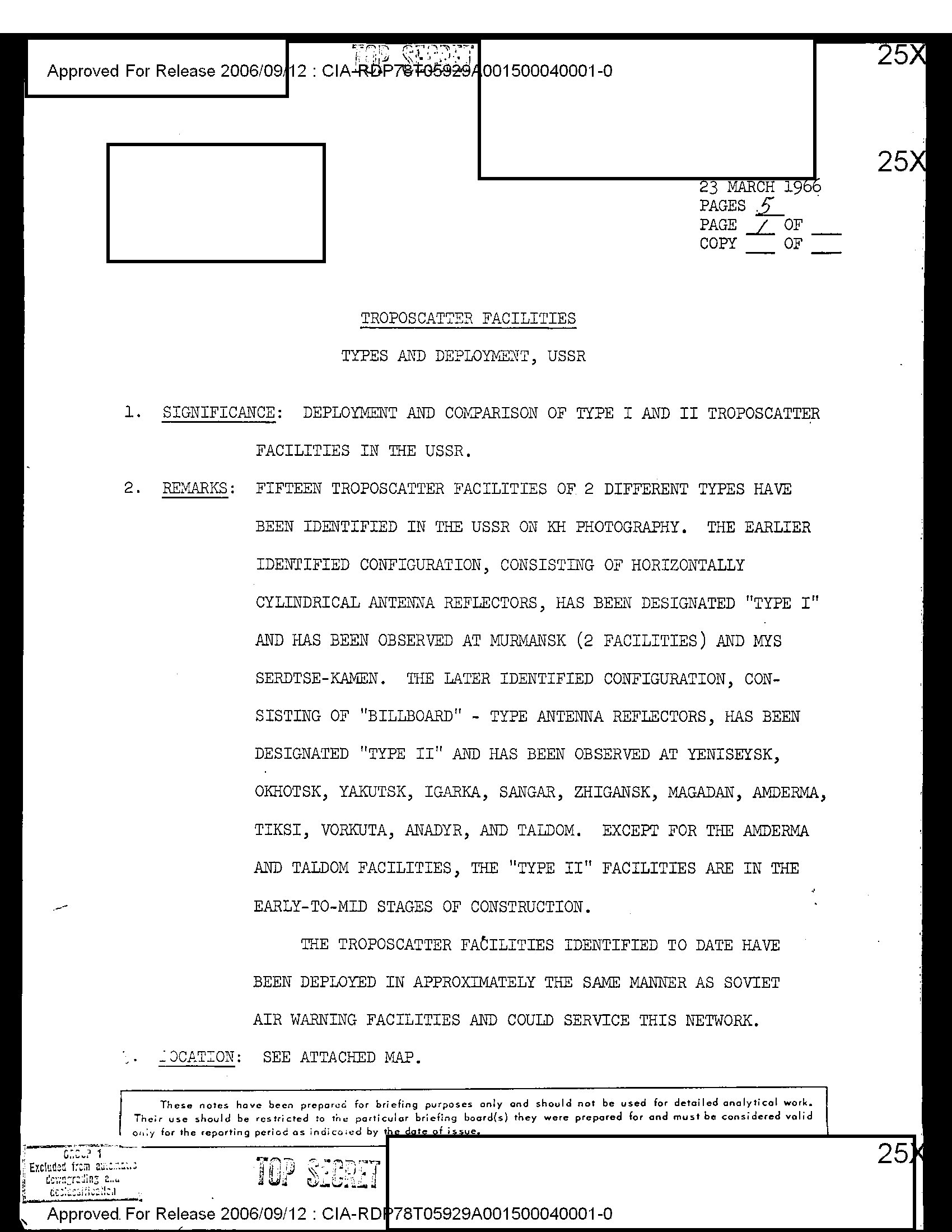
First page - click to open full document
Five months after the October 1965 search came up empty, this briefing counts fifteen troposcatter facilities on KH satellite photography and sorts them into two types: “Type I” with horizontally cylindrical reflectors (Murmansk, twice, and Mys Serdtse-Kamen) and “Type II” with “billboard”-type reflectors at Yeniseysk, Okhotsk, Yakutsk, Igarka, Sangar, Zhigansk, Magadan, Amderma, Tiksi, Vorkuta, Anadyr, and Taldom. Two of the three towns from the failed 1965 search are now on the list, and most Type II sites are described as in “early-to-mid stages of construction”; the cameras had caught the Север trunk line being poured.
It is the earliest declassified inventory of the Soviet troposcatter build-out we have found, and its closing observation (the facilities “have been deployed in approximately the same manner as Soviet air warning facilities and could service this network”) shows the analysts reading the network’s military purpose straight off its geography. Taldom, the odd inland entry, matches the experimental Taldom–Vologda hop described decades later in the Russian military-historical literature.
Source: CIA FOIA Reading Room (archived). Public domain as a US government work.