Provenance
NPIC memorandum for the National Security Agency (NSA requirement NSA/SPO/R-391-73, NPIC Project 252027); declassified via the CIA FOIA Reading Room (CIA-RDP78T04759A010300010017-5). A work of the US government - public domain.
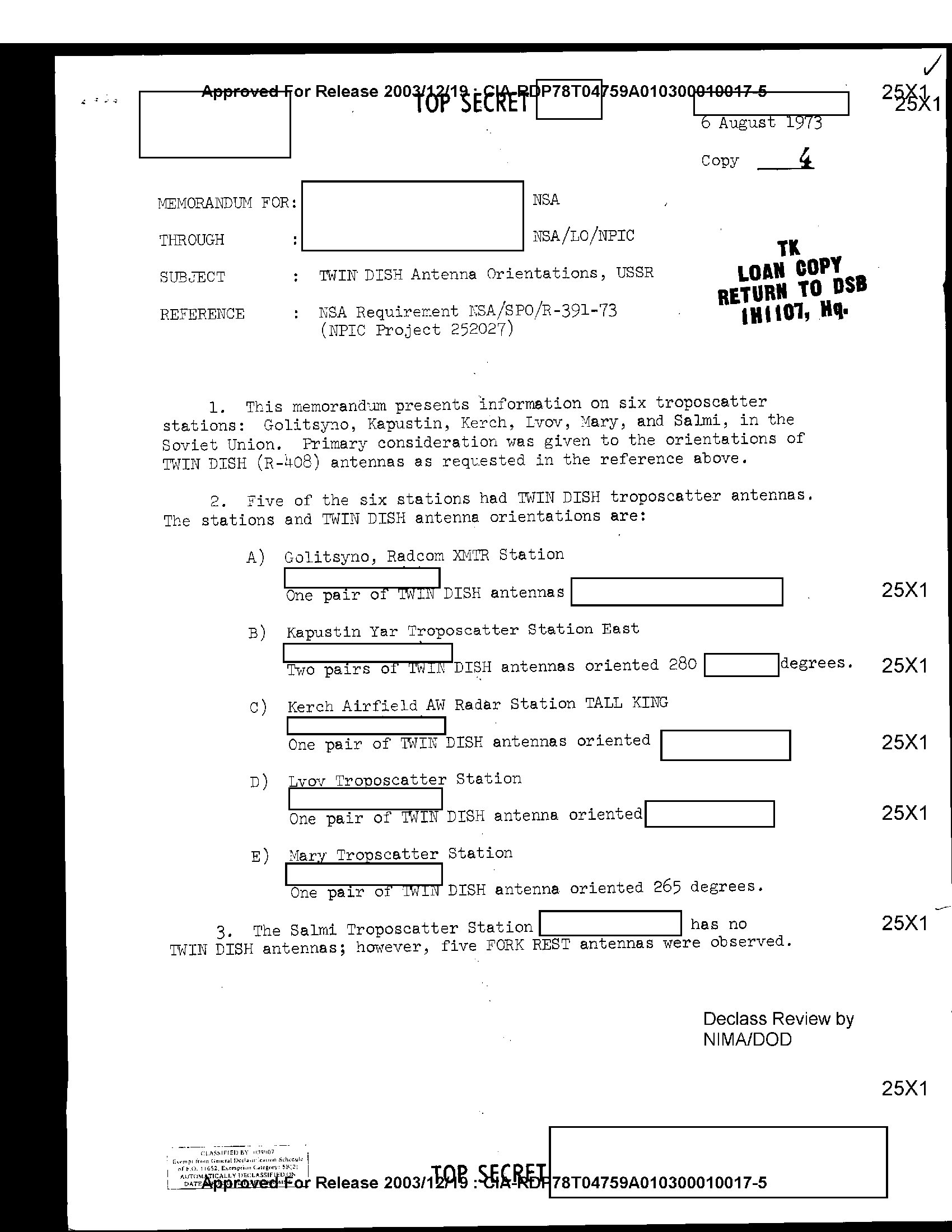
First page - click to open full document
One page, and the whole signals-intelligence story of troposcatter is in it. In 1973 the National Security Agency filed a formal requirement asking the photo-interpreters at NPIC to measure, from satellite imagery, the compass bearings of the TWIN DISH (Soviet R-408) troposcatter antennas at six stations: Golitsyno, Kapustin Yar (280 degrees), Kerch, Lvov, Mary (265 degrees), and Salmi, where there were no TWIN DISH antennas at all, but five FORK REST antennas instead.
A troposcatter link scatters its power off turbulence; it leaks. Knowing precisely where the beams pointed is exactly what an interception planner would want, and here is the NSA asking for it in writing, the clearest declassified evidence we have found that Western SIGINT worked Soviet troposcatter links as collection targets. It also confirms the NATO reporting names: R-408 = TWIN DISH.
Source: CIA FOIA Reading Room (archived). Public domain as a US government work; declassification review by NIMA/DOD.