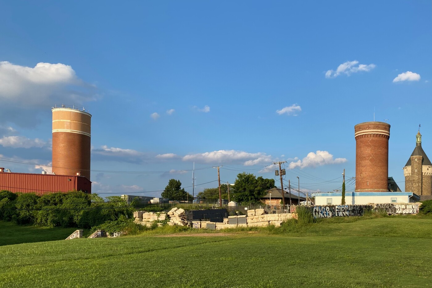
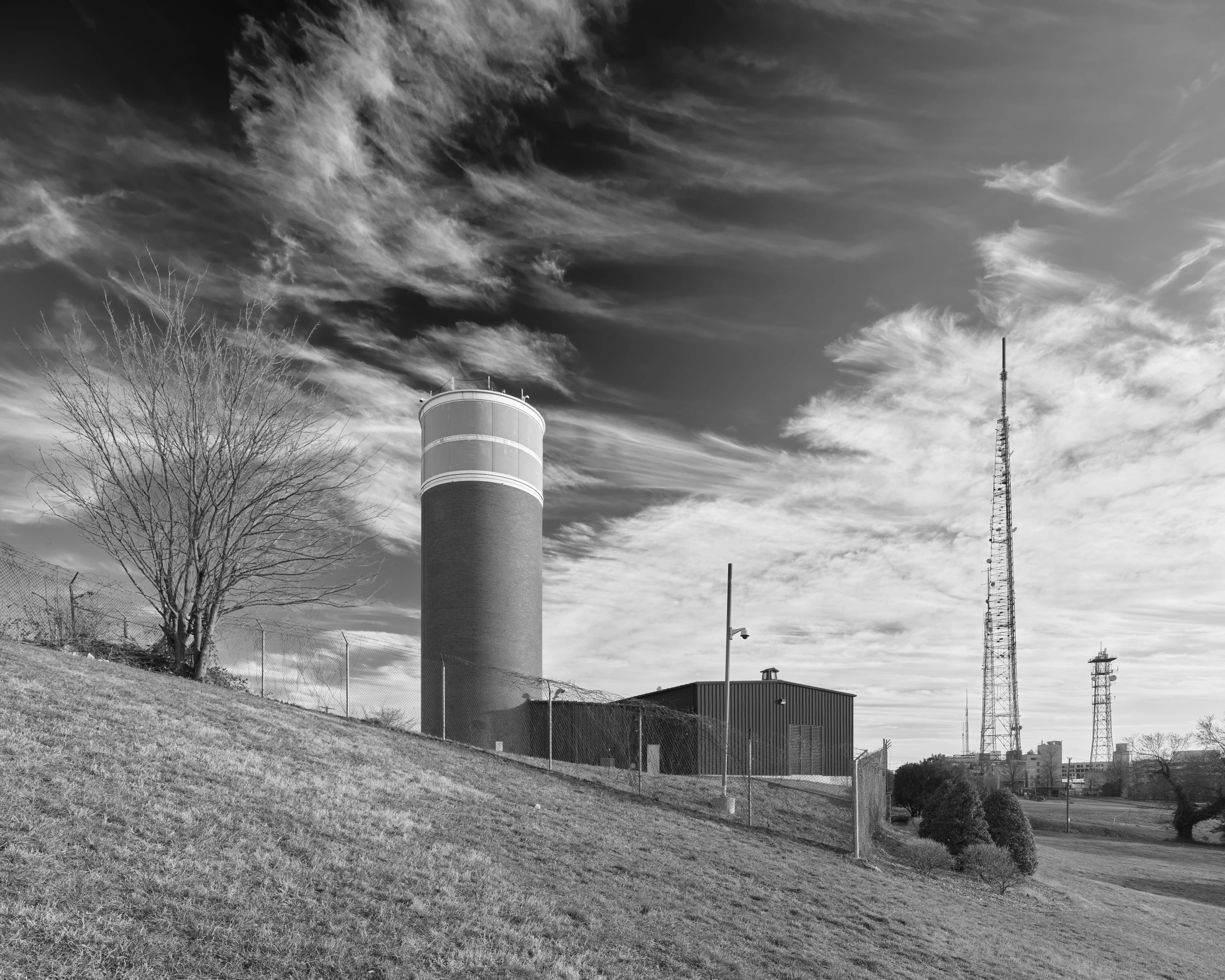
Rodenstock 23mm/5.6 Digaron-S lens (@ f/6,3), Phase One IQ4-150 back (@ ISO 50), Phase One XT camera (1/25 sec exposure). Full resolution available. CC BY-NC-ND 4.0
CARTWHEEL was a hardened, line-of-sight microwave terminal station built at Fort Reno Park (Tenleytown, northwest Washington, D.C.) in 1961–1962 to serve as the District hub for the White House Communications Agency (WHCA) “Presidential Emergency Facilities” microwave network. 1 2 The tower’s core mission was to keep command-and-control voice, teletype, and (reportedly) broadcast video moving between the White House (CROWN) and emergency relocation sites such as Mount Weather (CRYSTAL), Raven Rock/Site R (CREED/CADRE), and Camp David (CACTUS), under the theory that at least some routes would survive wartime damage. 3
Fort Reno sits on the highest natural ground in the District (about 409 ft / 125 m)4 . That elevation is a practical reason CARTWHEEL could “hide in plain sight” near existing water towers while still meeting the line-of-sight geometry that microwave trunk systems require. CARTWHEEL was built as a windowless, cylindrical, reinforced tower with a top section that visually masks antennas behind a translucent/painted Plexiglas radome band. The tower also had a two-level below-grade bunker wrapped around the base for staff functions and survivability systems.
Additional Links
- WHCA Cannonball: “Presidential Emergency Facility Site 4 — ‘Cartwheel’ (Revised)”
- Matt Blaze photo referenced for Tenleytown/Western Union tower comparison
- Wikimedia Commons: Cartwheel Tower at Fort Reno Park (header image)
- NCPC File No. 6738, FAA Facility Upgrade within Fort Reno Park (May 31, 2007) (PDF)
- U.S. DoD Securing Record Communications: The TSEC/KW-26 (PDF)
- U.S. DoD TSEC/KW-7 Repair and Maintenance Instructions (PDF)
- Broadcasting (Nov 18, 1957), Issue PDF (includes Raytheon KTR series ad text)
- Crypto Museum: KW-7 overview page
- WHCA Cannonball blog: WHCA Microwave Network Route Map (1956 to 1977) (includes system breakdown, equipment types, and CARTWHEEL path notes). ↩
- Atlas Obscura: “‘Cartwheel’ Tower” (construction dates, overview, access, coordinates). ↩
- WHCA Cannonball blog: Presidential Emergency Facility Site 4 — ‘Cartwheel’ (tower/bunker description and first-hand operational recollection). ↩
- National Park Service: Fort Reno Park: highest point in District of Columbia ↩